Here, we set off on foot!
Over 500 km of footpaths in Viroinval, right next to your gîtes
Five walks not to be missed
Flowering limestone grassland, rocks above the Viroin, stone villages and deep forests: Viroinval is best explored on foot. Here are five hand-picked walks for every level, from an hour of fresh air to the great loop of the Fondry des Chiens.
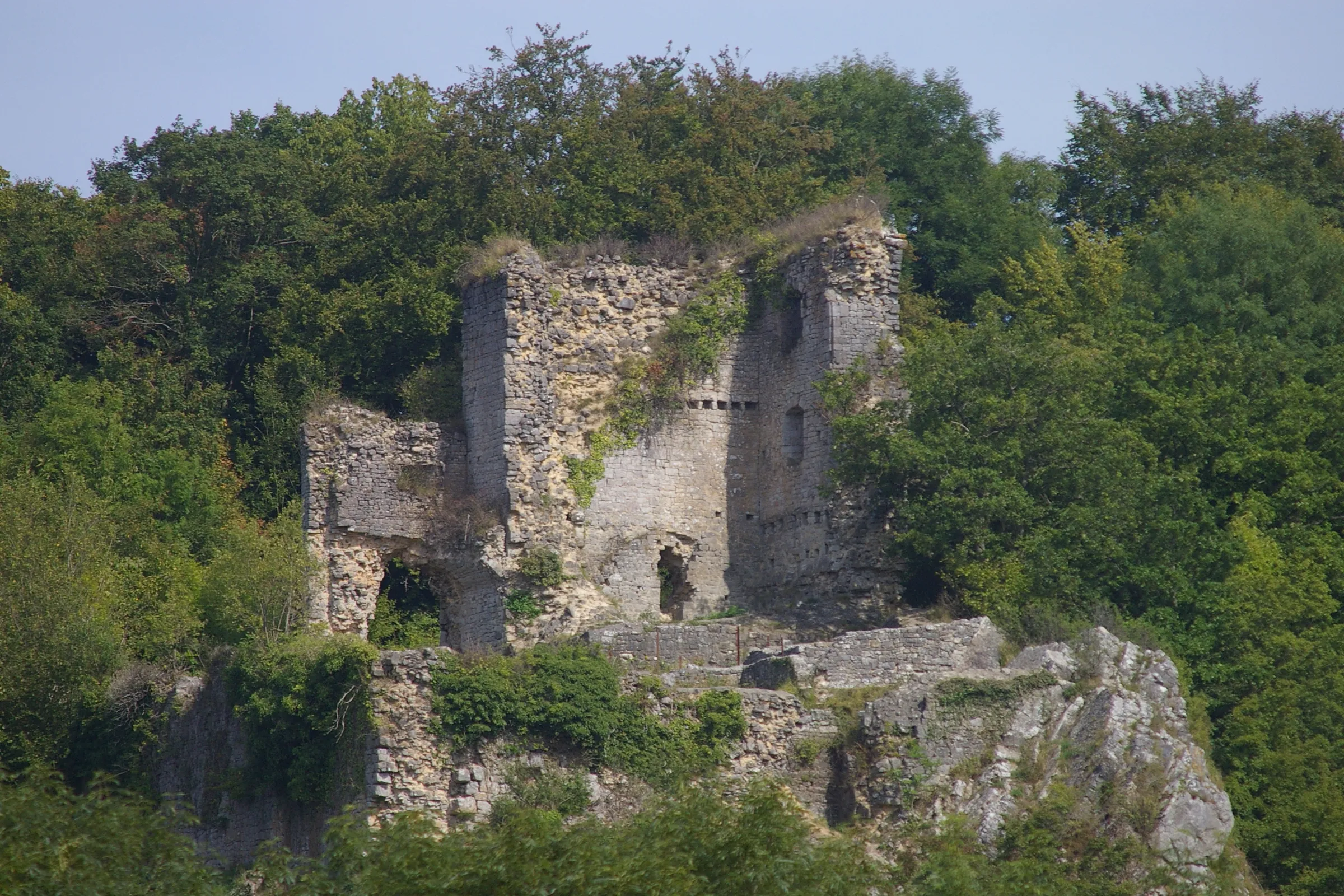 3.5km
Dourbes and Haute Roche castle
- about 1 h 20
- Easy
- Ascent + 98 m
The perfect first walk: it starts right at the foot of the gîtes, no car needed. Flowering limestone grassland where sheep sometimes graze, a viewpoint over the roofs of Dourbes, Haute Roche castle perched on its rock, then back past the church of Saint-Servais.
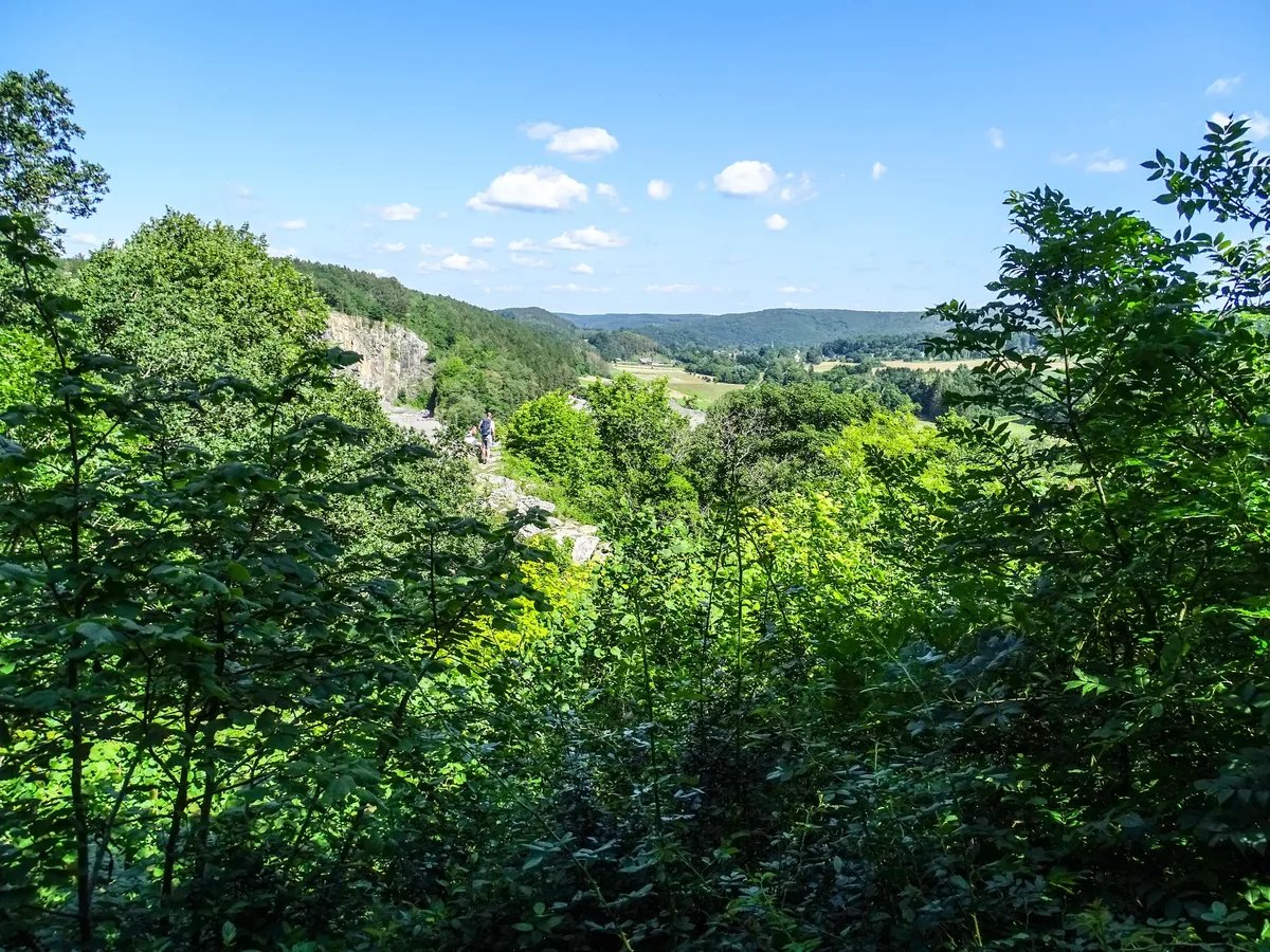 8.0km
La Roche aux Faucons
- about 2 h 30
- Moderate
- Ascent + 293 m
Starting from Nismes, a fine loop that passes close to the Fondry des Chiens, crosses the woods and grassland of Les Abannets, then drops down to the Viroin valley. The path runs along the bottom of the Matricolo fondry (a limestone sinkhole): take care if the path is wet. Half a day in the open air, with a picnic in your bag.
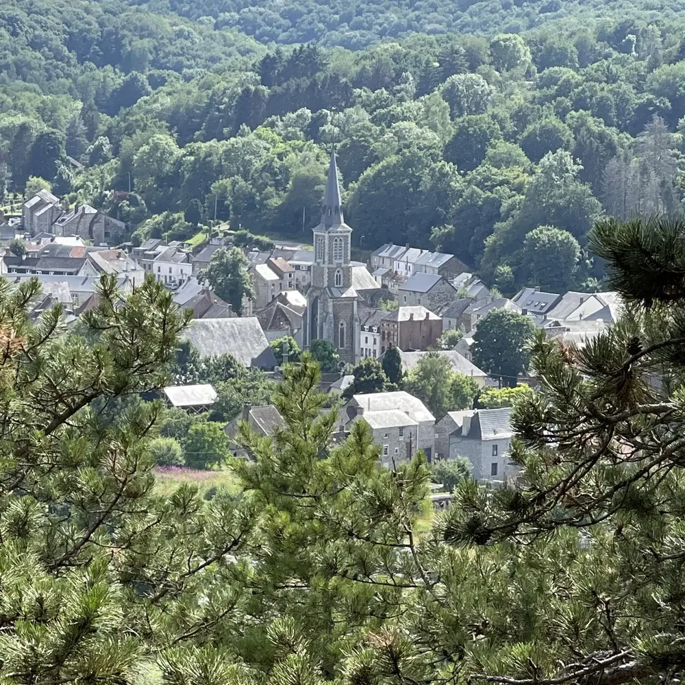 6.3km
La Roche du Pas
- about 2 h
- Easy
- Ascent + 169 m
A pretty loop between Olloy-sur-Viroin and Vierves-sur-Viroin: it follows the Viroin through meadows, woods and hillsides, with a possible stop in each of the two villages. A good choice for a family outing.
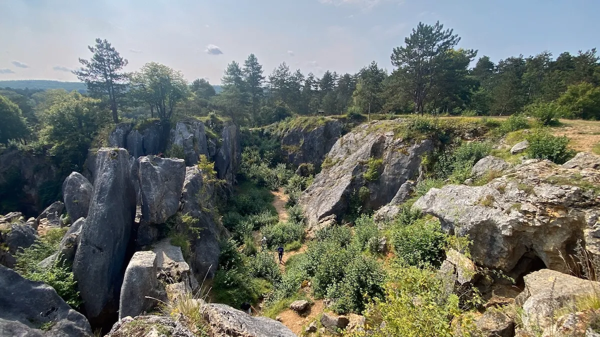 16.5km
The Fondry des Chiens and the Dourbes reserve
- a full day
- Moderate
- Ascent + 292 m
The “Belgian Grand Canyon”: a jumble of limestone rocks, wild grassland and a remarkable nature reserve. This loop from the gîtes goes around the chasm, and you can even climb down into it. Allow a full day.
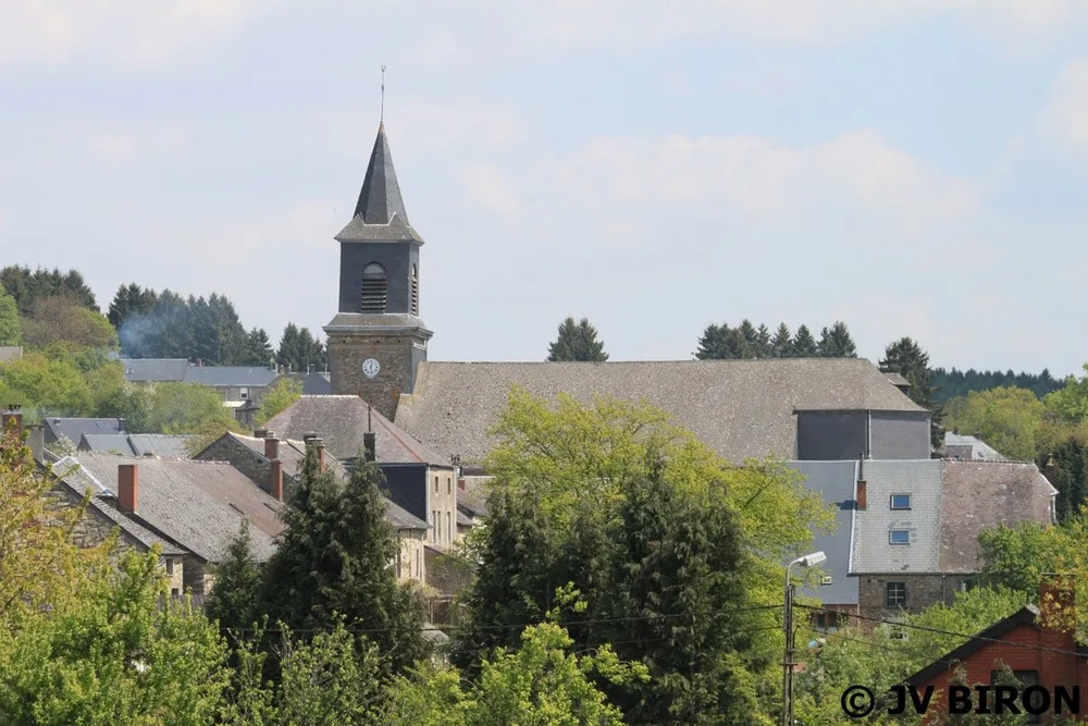 7,9km© JV Biron
Le Mesnil, in the heart of the Ardennes
- about 2 h 30
- Moderate
- Ascent + 216 m
A change of scenery: this is already the Ardennes. This loop starts in the village of Le Mesnil, with its slate church tower, drops between the meadows and then heads into the Ardennes forest and runs along the French border, at an altitude of 219 to 346 m. Ideal for half a day away from the bustle.
Before you go
- Walking boots: some stretches get slippery after rain.
- Bring water and a picnic: there are no shops along the paths.
- Always follow the waymarks and signs in place.
- During the hunting season some walks may be closed: check the dates and places of the hunts on ChasseOnWeb before setting off. Not every hunt is necessarily listed: respect the signs posted at the entrance to the woods.
- Maps, route sheets and advice: Viroinval tourist office.
Viroinval tourism: waymarked routes
ChasseOnWeb: dates and places of hunts in Wallonia
Distances and durations are indicative; check the route and waymarking before setting off.
Put down your bags, your boots are waiting
Come home from your walk to a charming gîte in the heart of the Viroin-Hermeton Nature Park.
Book a stay